Tourist Attractions & Activities in Tehran Province
Tehran Province
The Province of Tehran is the administrative, economic, and political center of Iran. It is one of the oldest regions in the plateau of Iran with traces of history dating back to 4th millennium BC. The historical evidences indicate that the most important city of this province was Rey and later Varamin, which had become the capital of the Mongol province. The tendency to develop the city of Tehran started from the Timurid period and has continued to the present. Tehran has been the capital of Iran since 1778. Today, the city of Tehran is ranked among the 40 most populated cities in the world.
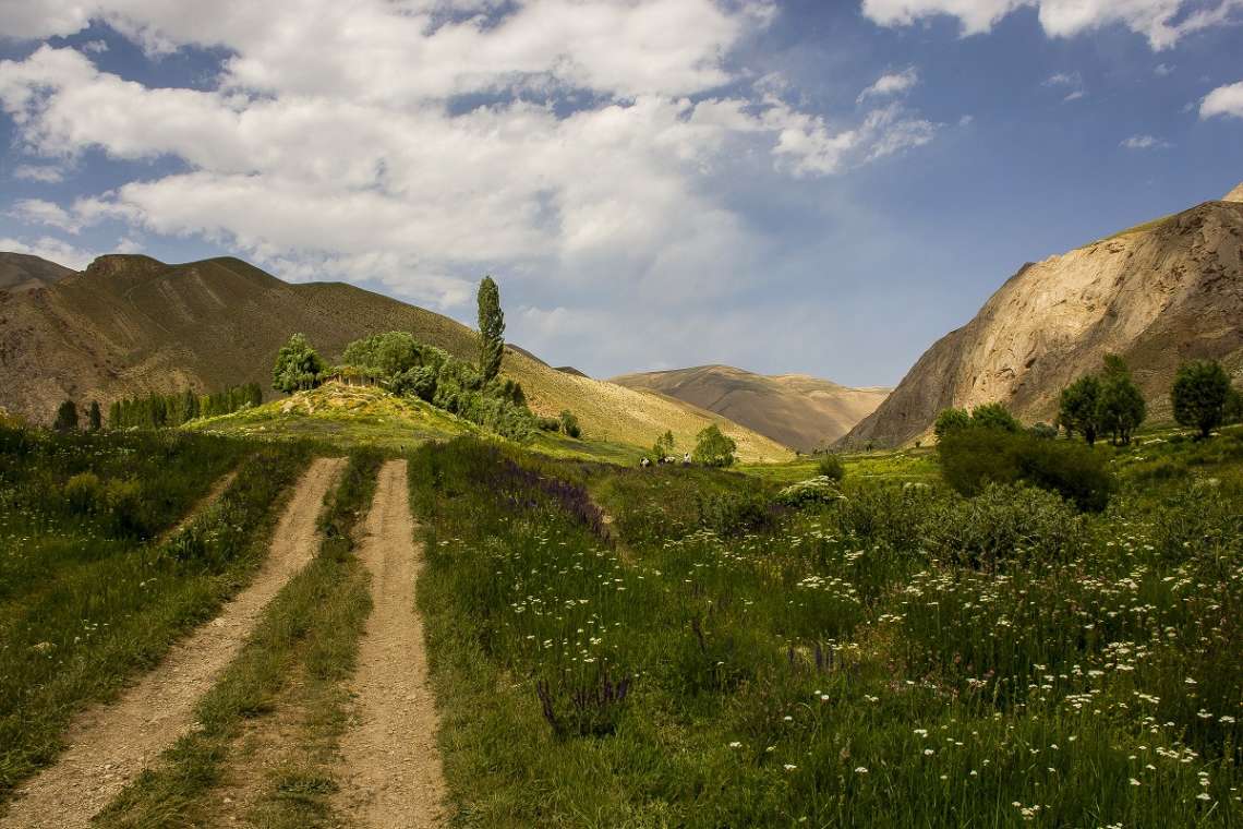
The province occupies an area of 13,692 sq km and is the 29th largest province in Iran. Tehran borders Semnan from the east, Mazandaran from the north, Alborz from the west and Qom from the south. It hosts 12,183,391 inhabitants, spread in 16 counties, comprising mostly of Fars, Turk, Kurd and northern tribes of Iran. Thanks to the Alborz Mountains laying on the northern part of the province, the climate on the northern areas is cold and semi-humid.
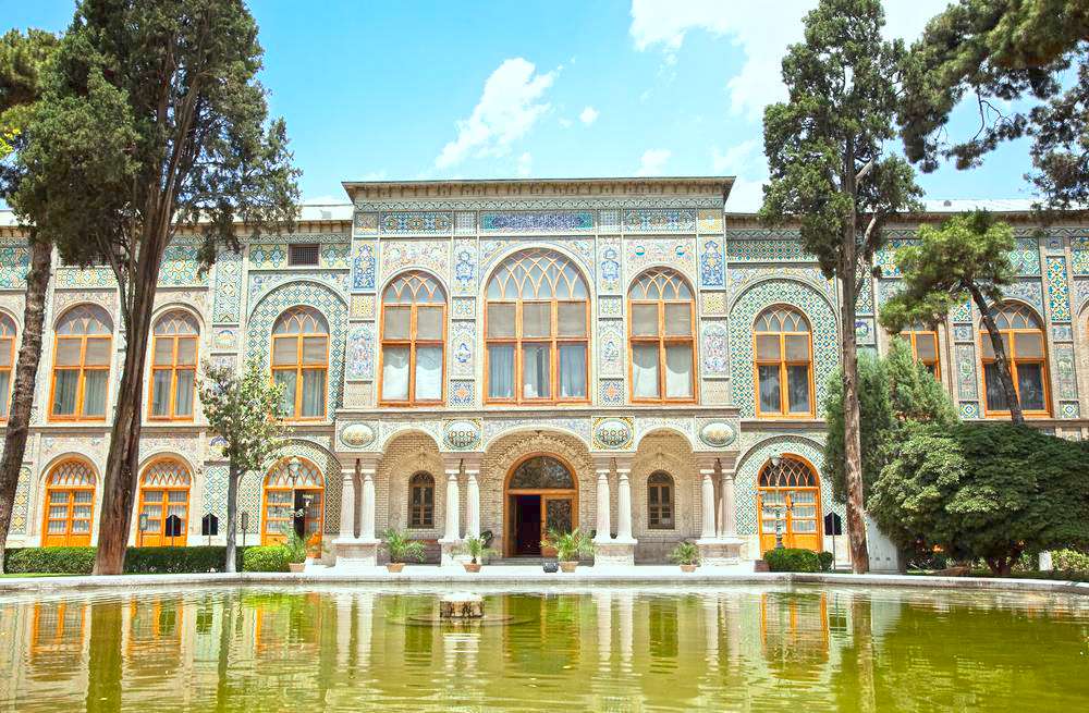
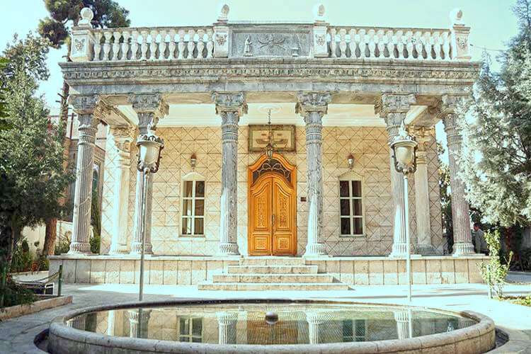
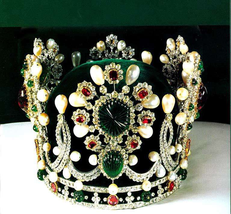
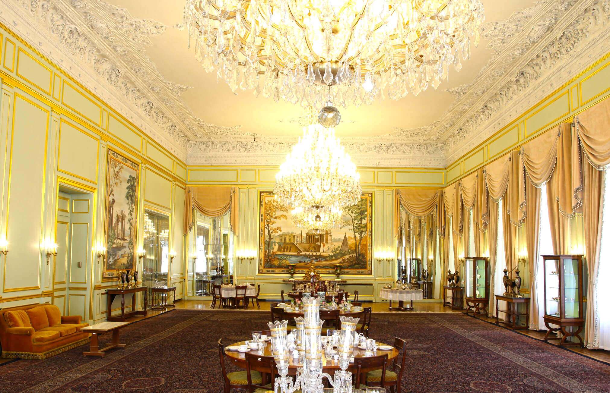
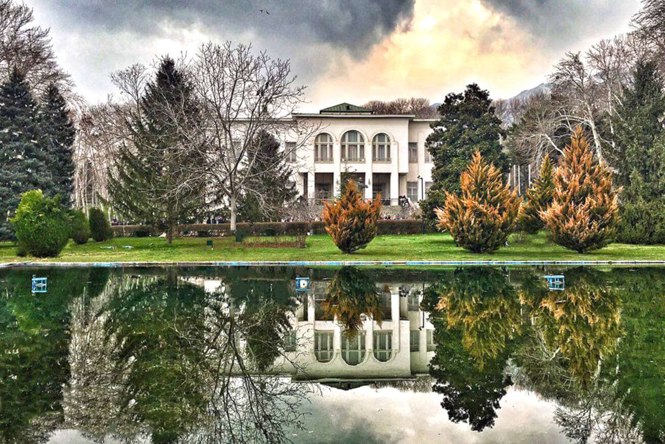
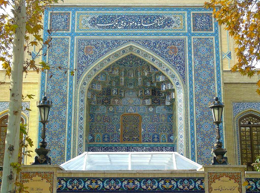
The province of Tehran is filled with natural and historical sites. It has magnificent museums, gardens, and palaces most of which date back to the Qajarid era, such as the UNESCO registered Golestan palace.